Your graphics add a nice touch to my presentations and I recently used them for one of my all-hands meetings. Your toolbox adds professionalism to my slides. Instead of using standard clipart.
Claude Jones, Director of Engineer, @Walmartlabs, USA
Your graphics add a nice touch to my presentations and I recently used them for one of my all-hands meetings. Your toolbox adds professionalism to my slides. Instead of using standard clipart.
Claude Jones, Director of Engineer, @Walmartlabs, USA
I needed a fresh look at some of my slides. I've tried to find a way to create a paintbrush effect, to underline, accentuate, add some color and the handwritten markers were just the things. Very easy to use, easy to size, change the color. It was an affordable, perfect solution and I'm happy to recommend it.
Anonymous, US
The crisp, clean look of the graphics, and the fact that it allowed me to easily edit and change the colors to match the template was my main reason for purchasing them.
Brandie Jenkins, E-learning Developer, USA
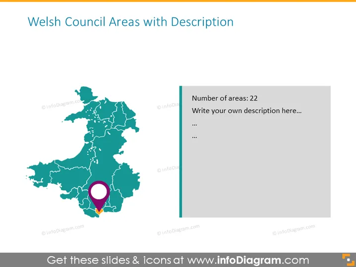
The slide presents information about Welsh Council Areas, specifically mentioning the count of areas as 22 and prompting the presenter to elaborate with their own description. It seems designed to provide a visual overview of a geographical region, in this case, Wales, allowing for a specific area to be highlighted and described in detail. The mention of "22" suggests there may be a predefined list of council areas or administrative divisions within Wales that the presentation is addressing.
The slide has a clean and professional appearance, utilizing a simple color palette focused around teal and purple to highlight key areas. The design is straightforward with a clear division between the graphical representation of Wales and the accompanying descriptive text.


