

Your graphics add a nice touch to my presentations and I recently used them for one of my all-hands meetings. Your toolbox adds professionalism to my slides. Instead of using standard clipart.
Claude Jones, Director of Engineer, @Walmartlabs, USA

Your graphics add a nice touch to my presentations and I recently used them for one of my all-hands meetings. Your toolbox adds professionalism to my slides. Instead of using standard clipart.
Claude Jones, Director of Engineer, @Walmartlabs, USA
I needed a fresh look at some of my slides. I've tried to find a way to create a paintbrush effect, to underline, accentuate, add some color and the handwritten markers were just the things. Very easy to use, easy to size, change the color. It was an affordable, perfect solution and I'm happy to recommend it.
Anonymous, US
The crisp, clean look of the graphics, and the fact that it allowed me to easily edit and change the colors to match the template was my main reason for purchasing them.
Brandie Jenkins, E-learning Developer, USA
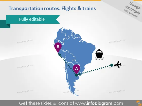
La diapositiva presenta un mapa conceptual que resalta las rutas de transporte con un enfoque específico en vuelos y conexiones de tren. Los puntos etiquetados A y B significan los puntos de inicio y fin de las rutas, posiblemente ubicaciones entre las que están diseñadas las rutas de transporte. El mapa parece representar una representación estilizada de una región, posiblemente América del Sur, basada en la forma del área delineada. Conceptualmente, los puntos A y B con líneas conectantes sugieren conectividad de transporte y podrían usarse para discutir logística, planificación de viajes o conectividad entre ubicaciones.



