
Your graphics add a nice touch to my presentations and I recently used them for one of my all-hands meetings. Your toolbox adds professionalism to my slides. Instead of using standard clipart.
Claude Jones, Director of Engineer, @Walmartlabs, USA
Your graphics add a nice touch to my presentations and I recently used them for one of my all-hands meetings. Your toolbox adds professionalism to my slides. Instead of using standard clipart.
Claude Jones, Director of Engineer, @Walmartlabs, USA
I needed a fresh look at some of my slides. I've tried to find a way to create a paintbrush effect, to underline, accentuate, add some color and the handwritten markers were just the things. Very easy to use, easy to size, change the color. It was an affordable, perfect solution and I'm happy to recommend it.
Anonymous, US
The crisp, clean look of the graphics, and the fact that it allowed me to easily edit and change the colors to match the template was my main reason for purchasing them.
Brandie Jenkins, E-learning Developer, USA
La República Federal de Alemania, como estado federal, consiste en dieciséis estados (alemán: Länder, sing. Land). Baviera, Sajonia y Turingia se describen a sí mismas como un Freistaat ("estado libre"), y Berlín y Hamburgo son llamados frecuentemente Stadtstaaten ("ciudades-estado"), al igual que la Ciudad libre hanseática de Bremen, que incluye las ciudades de Bremen y Bremerhaven. Los otros trece estados se llaman Flächenländer ("estados de área"). - Wikipedia
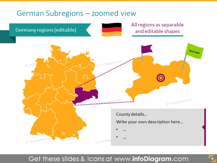
Esta plantilla de PowerPoint visualiza el mapa de Alemania con visuales de región totalmente editables. Las regiones están coloreadas de naranja por defecto, pero puedes cambiar los colores o redimensionar cualquier región para resaltarlas.
Esta diapositiva del Mapa de Subregiones de Alemania es parte de nuestro Mapa de Europa Occidental con Territorios Administrativos (Mapas editables de Alemania, Francia PPT).




