

Your graphics add a nice touch to my presentations and I recently used them for one of my all-hands meetings. Your toolbox adds professionalism to my slides. Instead of using standard clipart.
Claude Jones, Director of Engineer, @Walmartlabs, USA

Your graphics add a nice touch to my presentations and I recently used them for one of my all-hands meetings. Your toolbox adds professionalism to my slides. Instead of using standard clipart.
Claude Jones, Director of Engineer, @Walmartlabs, USA
I needed a fresh look at some of my slides. I've tried to find a way to create a paintbrush effect, to underline, accentuate, add some color and the handwritten markers were just the things. Very easy to use, easy to size, change the color. It was an affordable, perfect solution and I'm happy to recommend it.
Anonymous, US
The crisp, clean look of the graphics, and the fact that it allowed me to easily edit and change the colors to match the template was my main reason for purchasing them.
Brandie Jenkins, E-learning Developer, USA
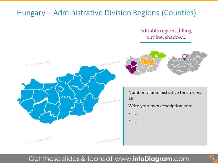
La diapositiva presenta una visión general basada en un mapa de las divisiones administrativas de Hungría, centrándose en las regiones o condados. Se indican 19 territorios administrativos, con la diapositiva proporcionando regiones de mapa editables donde los usuarios pueden personalizar el relleno, el contorno y los efectos de sombra. Cada condado podría representar varios puntos de datos como la población, el estado económico o la estructura de gobierno, dependiendo de los objetivos del usuario final.



