

Your graphics add a nice touch to my presentations and I recently used them for one of my all-hands meetings. Your toolbox adds professionalism to my slides. Instead of using standard clipart.
Claude Jones, Director of Engineer, @Walmartlabs, USA

Your graphics add a nice touch to my presentations and I recently used them for one of my all-hands meetings. Your toolbox adds professionalism to my slides. Instead of using standard clipart.
Claude Jones, Director of Engineer, @Walmartlabs, USA
I needed a fresh look at some of my slides. I've tried to find a way to create a paintbrush effect, to underline, accentuate, add some color and the handwritten markers were just the things. Very easy to use, easy to size, change the color. It was an affordable, perfect solution and I'm happy to recommend it.
Anonymous, US
The crisp, clean look of the graphics, and the fact that it allowed me to easily edit and change the colors to match the template was my main reason for purchasing them.
Brandie Jenkins, E-learning Developer, USA
The Federal Republic of Germany, as a federal state, consists of sixteen states (German: Länder, sing. Land). Bavaria, Saxony, and Thuringia describe themselves as a Freistaat ("free state"), and Berlin and Hamburg are frequently called Stadtstaaten ("city-states"), as is the Free Hanseatic City of Bremen, which includes the cities of Bremen and Bremerhaven. The other thirteen states are called Flächenländer ("area states"). - Wikipedia
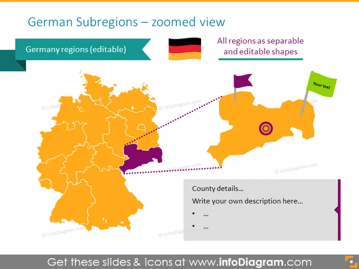
This PowerPoint template visualizes the map of Germany with fully editable region visuals. The regions are colored orange by default but you can change the colors or resize any region to highlight them.
This Germany Subregions Map slide is a part of our Western Europe Map with Administrative Territories (Germany, France PPT editable Maps).



