

Your graphics add a nice touch to my presentations and I recently used them for one of my all-hands meetings. Your toolbox adds professionalism to my slides. Instead of using standard clipart.
Claude Jones, Director of Engineer, @Walmartlabs, USA

Your graphics add a nice touch to my presentations and I recently used them for one of my all-hands meetings. Your toolbox adds professionalism to my slides. Instead of using standard clipart.
Claude Jones, Director of Engineer, @Walmartlabs, USA
I needed a fresh look at some of my slides. I've tried to find a way to create a paintbrush effect, to underline, accentuate, add some color and the handwritten markers were just the things. Very easy to use, easy to size, change the color. It was an affordable, perfect solution and I'm happy to recommend it.
Anonymous, US
The crisp, clean look of the graphics, and the fact that it allowed me to easily edit and change the colors to match the template was my main reason for purchasing them.
Brandie Jenkins, E-learning Developer, USA
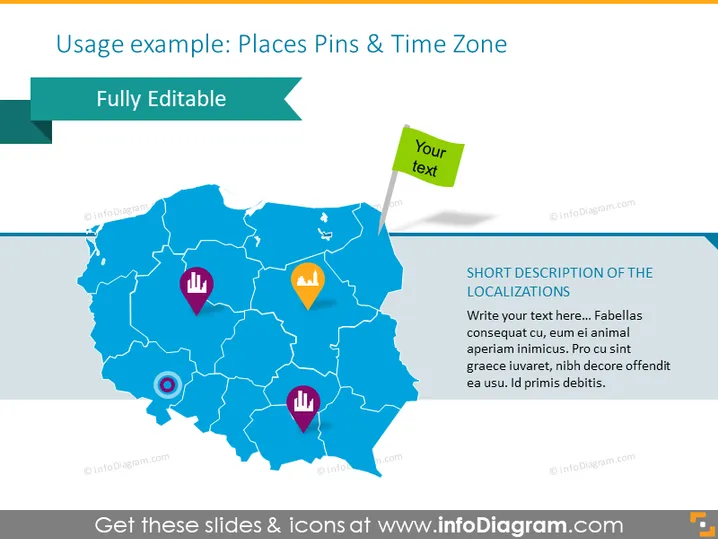
Diese PowerPoint-Folie präsentiert eine kartengestützte Visualisierung mit dem Titel "Anwendungsbeispiel: Orte Pins & Zeitzone", um geografische Standorte mit Pins zu annotieren, die unterschiedliche Datenpunkte oder Interessensgebiete darstellen könnten. Die Pins auf der Karte haben verschiedene Symbole, die verschiedene Arten von Standorten oder Informationen anzeigen, wie Punkte von commercial Interesse oder Wahrzeichen. Begleitend zu diesen grafischen Elementen sind Platzhalter für Text vorhanden, die es dem Benutzer ermöglichen, Beschreibungen oder wichtige Informationen zu den durch die Pins markierten Standorten hinzuzufügen.
Die Folie bietet ein visuell ansprechendes und professionelles Design mit der Verwendung von lebhaften Farbkontrasten und klaren, modernen Grafiken. Diese Elemente sind gut angeordnet, um eine klare Kommunikation von Informationen durch eine Kombination aus Visualisierung und Text zu ermöglichen.



