
Your graphics add a nice touch to my presentations and I recently used them for one of my all-hands meetings. Your toolbox adds professionalism to my slides. Instead of using standard clipart.
Claude Jones, Director of Engineer, @Walmartlabs, USA
Your graphics add a nice touch to my presentations and I recently used them for one of my all-hands meetings. Your toolbox adds professionalism to my slides. Instead of using standard clipart.
Claude Jones, Director of Engineer, @Walmartlabs, USA
I needed a fresh look at some of my slides. I've tried to find a way to create a paintbrush effect, to underline, accentuate, add some color and the handwritten markers were just the things. Very easy to use, easy to size, change the color. It was an affordable, perfect solution and I'm happy to recommend it.
Anonymous, US
The crisp, clean look of the graphics, and the fact that it allowed me to easily edit and change the colors to match the template was my main reason for purchasing them.
Brandie Jenkins, E-learning Developer, USA
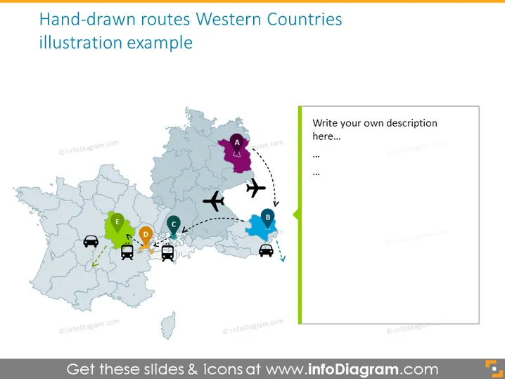
Diese PowerPoint-Folie zeigt eine konzeptionelle Karte von westeuropäischen Ländern mit handgezeichneten Routen, die die Reise- oder Verteilungspfade zwischen verschiedenen Punkten kennzeichnen, die von A bis E beschriftet sind. Punkt A ist mit einer lila Stecknadel markiert und scheint den Ausgangspunkt zu kennzeichnen. Die Punkte B bis E sind mit anderen farbigen Stecknadeln markiert, wobei Transportikonen wie Flugzeuge und Autos die Bewegung zwischen diesen Punkten andeuten. Die Karte scheint repräsentativ zu sein und nicht strikt geografisch genau, und bietet ein vielseitiges Werkzeug zur Visualisierung von Routen oder Netzwerken.
Das Gesamtbild ist sauber und visuell ansprechend, mit einem Gleichgewicht zwischen Grafiken und Platz für Text. Die Farben und Ikonen werden effektiv genutzt, um die Aufmerksamkeit des Betrachters durch die visualisierten Routen zu lenken.




