

Your graphics add a nice touch to my presentations and I recently used them for one of my all-hands meetings. Your toolbox adds professionalism to my slides. Instead of using standard clipart.
Claude Jones, Director of Engineer, @Walmartlabs, USA

Your graphics add a nice touch to my presentations and I recently used them for one of my all-hands meetings. Your toolbox adds professionalism to my slides. Instead of using standard clipart.
Claude Jones, Director of Engineer, @Walmartlabs, USA
I needed a fresh look at some of my slides. I've tried to find a way to create a paintbrush effect, to underline, accentuate, add some color and the handwritten markers were just the things. Very easy to use, easy to size, change the color. It was an affordable, perfect solution and I'm happy to recommend it.
Anonymous, US
The crisp, clean look of the graphics, and the fact that it allowed me to easily edit and change the colors to match the template was my main reason for purchasing them.
Brandie Jenkins, E-learning Developer, USA
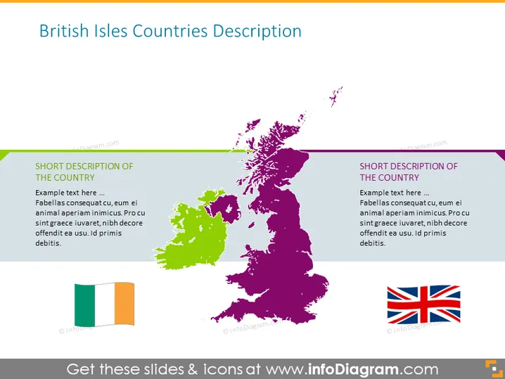
Diese PowerPoint-Vorlage illustriert die Länder der Britischen Inseln mit ihren Karten. Sie können die Vorlage nutzen, um Zeit bei Ihren Präsentationen zu sparen und sie ansprechender zu gestalten. Verwenden Sie die Karten, um geografische Merkmale hervorzuheben, und die Textfelder, um Notizen für das Land Ihrer Wahl einzugeben. Weitere Informationen über die Britischen Inseln finden Sie auf Wikipedia.
Diese Folie über Länderbeschreibungen der Britischen Inseln ist Teil unserer PowerPoint-Vorlage für die Karte von Großbritannien und Irland mit Grafschaften.



