

Your graphics add a nice touch to my presentations and I recently used them for one of my all-hands meetings. Your toolbox adds professionalism to my slides. Instead of using standard clipart.
Claude Jones, Director of Engineer, @Walmartlabs, USA

Your graphics add a nice touch to my presentations and I recently used them for one of my all-hands meetings. Your toolbox adds professionalism to my slides. Instead of using standard clipart.
Claude Jones, Director of Engineer, @Walmartlabs, USA
I needed a fresh look at some of my slides. I've tried to find a way to create a paintbrush effect, to underline, accentuate, add some color and the handwritten markers were just the things. Very easy to use, easy to size, change the color. It was an affordable, perfect solution and I'm happy to recommend it.
Anonymous, US
The crisp, clean look of the graphics, and the fact that it allowed me to easily edit and change the colors to match the template was my main reason for purchasing them.
Brandie Jenkins, E-learning Developer, USA
Die baltischen Staaten, oder die baltischen Länder, sind ein geopolitischer Begriff, der derzeit verwendet wird, um drei Länder zusammenzufassen: Estland, Lettland und Litauen. Alle drei Länder sind Mitglieder der NATO, der Europäischen Union, der Eurozone und der OECD. Die drei souveränen Staaten an der Ostküste der Ostsee werden manchmal als die "baltischen Nationen" bezeichnet, weniger oft und in historischen Zusammenhängen auch als die "baltischen Republiken", die "baltischen Länder" oder einfach die Baltikum. Wikipedia
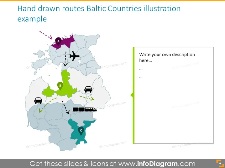
Diese Präsentationsvorlage ist eine kreative Möglichkeit, die Verkehrswege über diese Länder mit Flugzeugen, Zügen oder persönlichem Transport zu veranschaulichen.
Diese Handgezeichnete Karte der Routen in den Baltischen Ländern Folie ist Teil unserer Präsentationsvorlage für Karten der Baltischen Staaten in Europa mit Verwaltungsgebieten.



