
Your graphics add a nice touch to my presentations and I recently used them for one of my all-hands meetings. Your toolbox adds professionalism to my slides. Instead of using standard clipart.
Claude Jones, Director of Engineer, @Walmartlabs, USA

Your graphics add a nice touch to my presentations and I recently used them for one of my all-hands meetings. Your toolbox adds professionalism to my slides. Instead of using standard clipart.
Claude Jones, Director of Engineer, @Walmartlabs, USA
I needed a fresh look at some of my slides. I've tried to find a way to create a paintbrush effect, to underline, accentuate, add some color and the handwritten markers were just the things. Very easy to use, easy to size, change the color. It was an affordable, perfect solution and I'm happy to recommend it.
Anonymous, US
The crisp, clean look of the graphics, and the fact that it allowed me to easily edit and change the colors to match the template was my main reason for purchasing them.
Brandie Jenkins, E-learning Developer, USA
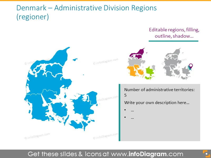
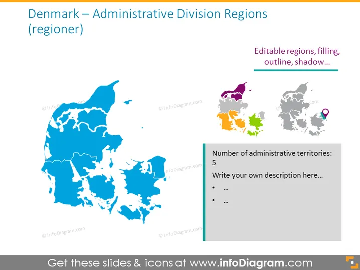
Die Folie präsentiert die Verwaltungsgliederung Dänemarks in Regionen und hebt die Landkarte des Landes hervor, die in seine Verwaltungsgebiete unterteilt ist. Der Titel erwähnt, dass diese Regionen auch als "regioner" bekannt sind, was den dänischen Begriff für Regionen anzeigt. Eine Fußnote weist darauf hin, dass die Regionen bearbeitbare Eigenschaften wie Füllung, Umriss und Schatten haben. Eine graue Box rechts zeigt die Anzahl der Verwaltungsgebiete (5) und fordert dazu auf, eine Beschreibung zu schreiben.
Das Gesamtbild der Folie ist klar und professionell und verwendet ein farbcodiertes Schema, um zwischen der Haupt- und der Inset-Karte zu unterscheiden. Der Einsatz von Symbolen und bearbeitbaren Funktionen dient der Anpassung und dem einfachen Verständnis.