
Your graphics add a nice touch to my presentations and I recently used them for one of my all-hands meetings. Your toolbox adds professionalism to my slides. Instead of using standard clipart.
Claude Jones, Director of Engineer, @Walmartlabs, USA
Your graphics add a nice touch to my presentations and I recently used them for one of my all-hands meetings. Your toolbox adds professionalism to my slides. Instead of using standard clipart.
Claude Jones, Director of Engineer, @Walmartlabs, USA
I needed a fresh look at some of my slides. I've tried to find a way to create a paintbrush effect, to underline, accentuate, add some color and the handwritten markers were just the things. Very easy to use, easy to size, change the color. It was an affordable, perfect solution and I'm happy to recommend it.
Anonymous, US
The crisp, clean look of the graphics, and the fact that it allowed me to easily edit and change the colors to match the template was my main reason for purchasing them.
Brandie Jenkins, E-learning Developer, USA
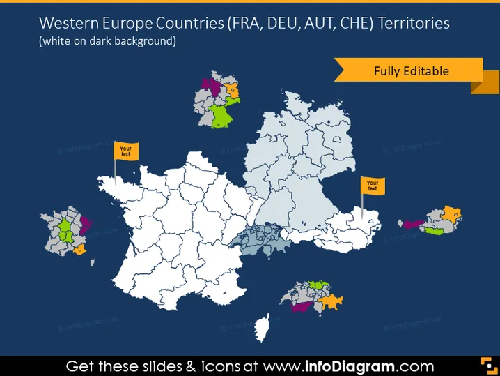
Die Folie scheint die Gebiete der westeuropäischen Länder, insbesondere Frankreich (FRA), Deutschland (DEU), Österreich (AUT) und die Schweiz (CHE), zu umreißen und zeigt an, dass der Inhalt auf die geografische Abgrenzung dieser Regionen fokussiert ist. Die Erwähnung von "Vollständig Editable" deutet darauf hin, dass die Karte für verschiedene Präsentationsbedürfnisse bearbeitet werden kann. Jedes Land erscheint farblich kodiert, um eine einfache Unterscheidung zu ermöglichen, und es gibt Stellen, an denen man Text hinzufügen kann, um möglicherweise spezifische Regionen hervorzuheben oder relevante Daten zur Präsentation hinzuzufügen.




